PROW 64_1
Introduction
The photograph on this page of PROW 64_1 by Glyn Baker as part of the Geograph project.
The Geograph project started in 2005 with the aim of publishing, organising and preserving representative images for every square kilometre of Great Britain, Ireland and the Isle of Man.

There are currently over 7.5m images from over 14,400 individuals and you can help contribute to the project by visiting https://www.geograph.org.uk
PROW 64_1
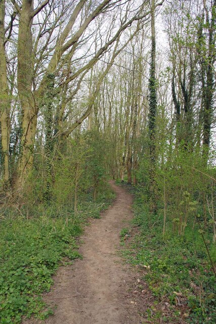
Image: © Glyn Baker Taken: 20 Apr 2021
Public Right Of Way 64_1 running through a linear woodland.
Images are licensed for reuse under creativecommons.org/licenses/by-sa/2.0
Image Location
Latitude
52.056969
Longitude
0.524404