Deanery Close
Introduction
The photograph on this page of Deanery Close by Martin Addison as part of the Geograph project.
The Geograph project started in 2005 with the aim of publishing, organising and preserving representative images for every square kilometre of Great Britain, Ireland and the Isle of Man.

There are currently over 7.5m images from over 14,400 individuals and you can help contribute to the project by visiting https://www.geograph.org.uk
Deanery Close
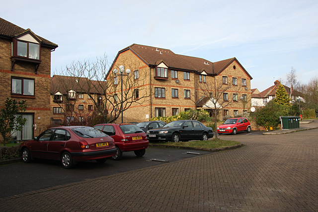
Image: © Martin Addison Taken: 5 Feb 2008
Another 1980's housing development. The estate is built on an area of open land that sat between the railway line and a footpath leading down to East Finchley station. Approximately where I am standing, the footpath was carried over a siding in a cutting by a small bridge. It was constructed in the 1920's and I believe it was used to supply a builders merchant (Gray's?) at a time when the area was rapidly growing. The remains of the siding with one decomposing wagon were still there in the early 1970's. The main railway goods sidings were closer to the station and are now a car park.
Images are licensed for reuse under creativecommons.org/licenses/by-sa/2.0
Image Location
Latitude
51.588919
Longitude
-0.164998