Railway bridge at Woodend
Introduction
The photograph on this page of Railway bridge at Woodend by Neil Theasby as part of the Geograph project.
The Geograph project started in 2005 with the aim of publishing, organising and preserving representative images for every square kilometre of Great Britain, Ireland and the Isle of Man.

There are currently over 7.5m images from over 14,400 individuals and you can help contribute to the project by visiting https://www.geograph.org.uk
Railway bridge at Woodend
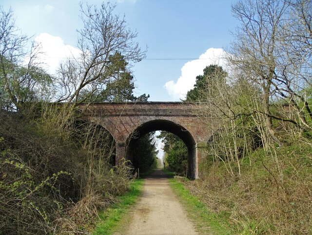
Image: © Neil Theasby Taken: 20 Apr 2021
It carries Chesterfield Road north west of Huthwaite. Just beyond the bridge is the former site of "Woodend for Hucknall Huthwaite" railway station that opened on May 1st 1886. It later became "Whiteboro Station" but closed to passengers on October 4th 1926.
Images are licensed for reuse under creativecommons.org/licenses/by-sa/2.0
Image Location
Latitude
53.136351
Longitude
-1.314462