Path from Burlish Top to Rifle Range Nature Reserve
Introduction
The photograph on this page of Path from Burlish Top to Rifle Range Nature Reserve by Chris Allen as part of the Geograph project.
The Geograph project started in 2005 with the aim of publishing, organising and preserving representative images for every square kilometre of Great Britain, Ireland and the Isle of Man.

There are currently over 7.5m images from over 14,400 individuals and you can help contribute to the project by visiting https://www.geograph.org.uk
Path from Burlish Top to Rifle Range Nature Reserve
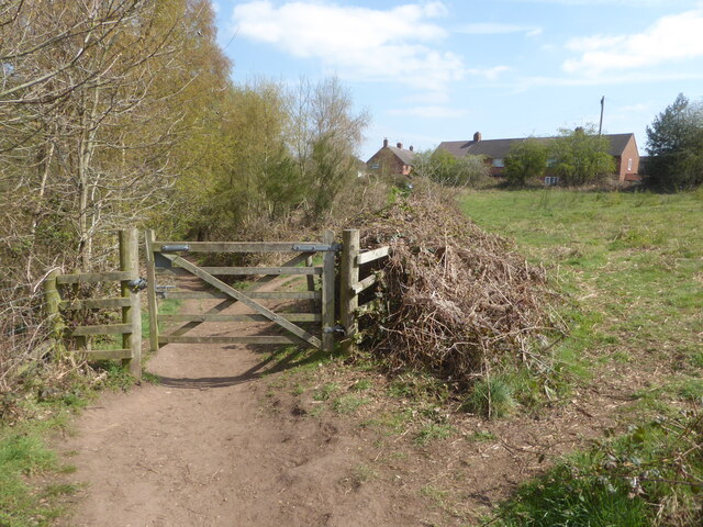
Image: © Chris Allen Taken: 17 Apr 2021
A left fork beyond the gate takes you over the Severn Valley Railway and into the Rifle Range Nature Reserve.
Images are licensed for reuse under creativecommons.org/licenses/by-sa/2.0
Image Location
Latitude
52.367233
Longitude
-2.277826