Remains of 1844 benchmark beside door of Near Boot Inn
Introduction
The photograph on this page of Remains of 1844 benchmark beside door of Near Boot Inn by Luke Shaw as part of the Geograph project.
The Geograph project started in 2005 with the aim of publishing, organising and preserving representative images for every square kilometre of Great Britain, Ireland and the Isle of Man.

There are currently over 7.5m images from over 14,400 individuals and you can help contribute to the project by visiting https://www.geograph.org.uk
Remains of 1844 benchmark beside door of Near Boot Inn
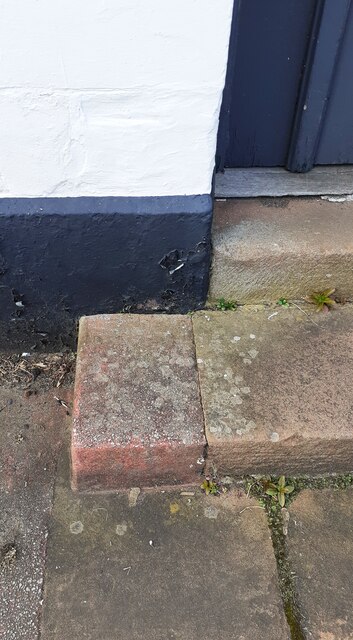
Image: © Luke Shaw Taken: 16 Apr 2021
The Ordnance Survey published abstract for the Carlisle to North Shields Survey of 1844/5 describes the benchmark as 'No. 8. Mark on jamb of door of the Old Boot Inn, at junction of roads ; 1.87 ft. above surface' levelled at 98.166 feet above Liverpool Datum
Images are licensed for reuse under creativecommons.org/licenses/by-sa/2.0
Image Location
Latitude
54.913224
Longitude
-2.919207