Manor Farm, Freeby
Introduction
The photograph on this page of Manor Farm, Freeby by Jonathan Thacker as part of the Geograph project.
The Geograph project started in 2005 with the aim of publishing, organising and preserving representative images for every square kilometre of Great Britain, Ireland and the Isle of Man.

There are currently over 7.5m images from over 14,400 individuals and you can help contribute to the project by visiting https://www.geograph.org.uk
Manor Farm, Freeby
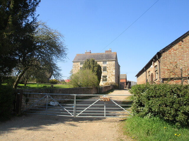
Image: © Jonathan Thacker Taken: 19 Apr 2021
The farmhouse dates from the eighteenth century https://historicengland.org.uk/listing/the-list/list-entry/1061257
Images are licensed for reuse under creativecommons.org/licenses/by-sa/2.0
Image Location
Latitude
52.773229
Longitude
-0.809068