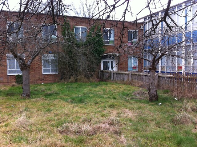
Former school building, Sheldon Hall Avenue
Introduction
The photograph on this page of Former school building, Sheldon Hall Avenue by A J Paxton as part of the Geograph project.
The Geograph project started in 2005 with the aim of publishing, organising and preserving representative images for every square kilometre of Great Britain, Ireland and the Isle of Man.
There are currently over 7.5m images from over 14,400 individuals and you can help contribute to the project by visiting https://www.geograph.org.uk

Image: © A J Paxton Taken: 19 Feb 2017
Built late 1950s? for Byng Kenrick Central School and/or Wilfred Martineau School, which used this site and a larger one on Gressel Lane nearby. In 2001 the school became the International School & Community College, which used this, the smaller site, until c2010-12. It housed property guardians from July 2013 to February 2017. Later that year the buildings on the site were demolished and houses built in their place. (The Gressel Lane site continued to be used as a school.)

