The pipeline fence
Introduction
The photograph on this page of The pipeline fence by Graham Horn as part of the Geograph project.
The Geograph project started in 2005 with the aim of publishing, organising and preserving representative images for every square kilometre of Great Britain, Ireland and the Isle of Man.

There are currently over 7.5m images from over 14,400 individuals and you can help contribute to the project by visiting https://www.geograph.org.uk
The pipeline fence
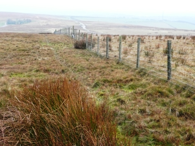
Image: © Graham Horn Taken: 3 Feb 2008
There is a pair of fences across the moorland courtesy of a gas pipeline that runs through the area. This is helpful to follow in poor weather.
Images are licensed for reuse under creativecommons.org/licenses/by-sa/2.0
Image Location
Latitude
51.722652
Longitude
-3.107878