Ainstable Low Quarter boundary stone
Introduction
The photograph on this page of Ainstable Low Quarter boundary stone by Roger Templeman as part of the Geograph project.
The Geograph project started in 2005 with the aim of publishing, organising and preserving representative images for every square kilometre of Great Britain, Ireland and the Isle of Man.

There are currently over 7.5m images from over 14,400 individuals and you can help contribute to the project by visiting https://www.geograph.org.uk
Ainstable Low Quarter boundary stone
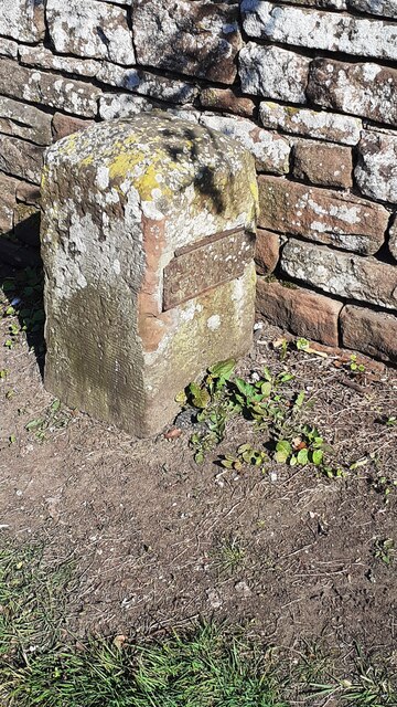
Image: © Roger Templeman Taken: 17 Apr 2021
Image gives additional information. The stone has Milestone Society National ID: CU_AINS01pb
Images are licensed for reuse under creativecommons.org/licenses/by-sa/2.0
Image Location
Latitude
54.806354
Longitude
-2.766489