Path junction, Brunel Woods
Introduction
The photograph on this page of Path junction, Brunel Woods by Derek Harper as part of the Geograph project.
The Geograph project started in 2005 with the aim of publishing, organising and preserving representative images for every square kilometre of Great Britain, Ireland and the Isle of Man.

There are currently over 7.5m images from over 14,400 individuals and you can help contribute to the project by visiting https://www.geograph.org.uk
Path junction, Brunel Woods
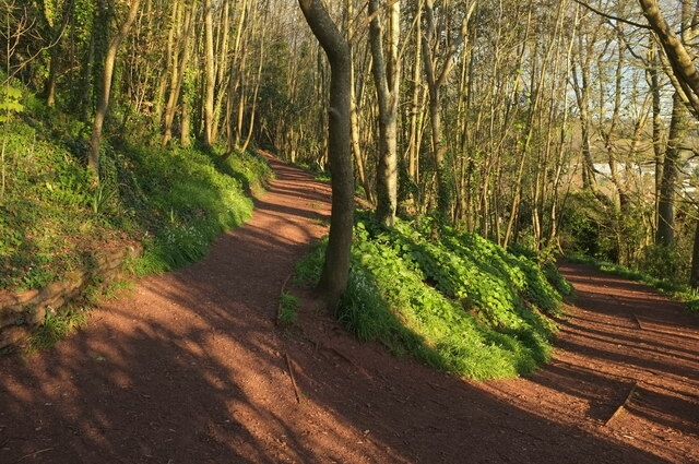
Image: © Derek Harper Taken: 11 Apr 2021
The right fork drops beside the southern edge of the woods towards the Brunel Avenue exit. The left fork climbs in the direction of Brunel Manor towards the eastern of the Seymour Drive exits. https://historicengland.org.uk/listing/the-list/list-entry/1000141
Images are licensed for reuse under creativecommons.org/licenses/by-sa/2.0
Image Location
Latitude
50.498208
Longitude
-3.531441