Canal looking east from Parkin Lane bridge
Introduction
The photograph on this page of Canal looking east from Parkin Lane bridge by Stephen Craven as part of the Geograph project.
The Geograph project started in 2005 with the aim of publishing, organising and preserving representative images for every square kilometre of Great Britain, Ireland and the Isle of Man.

There are currently over 7.5m images from over 14,400 individuals and you can help contribute to the project by visiting https://www.geograph.org.uk
Canal looking east from Parkin Lane bridge
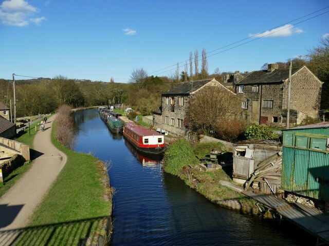
Image: © Stephen Craven Taken: 24 Mar 2021
See Image for a similar view taken about five years earlier. For the buildings to the right of the photo, see Image I wonder whether the narrowing of the canal at this point indicates the location of a crossing (maybe swing bridge) before the construction of Calverley Cutting including the bridge from which this photo was taken?
Images are licensed for reuse under creativecommons.org/licenses/by-sa/2.0
Image Location
Latitude
53.835368
Longitude
-1.702895