Semi-detached houses on NW side of Waverley Road
Introduction
The photograph on this page of Semi-detached houses on NW side of Waverley Road by Luke Shaw as part of the Geograph project.
The Geograph project started in 2005 with the aim of publishing, organising and preserving representative images for every square kilometre of Great Britain, Ireland and the Isle of Man.

There are currently over 7.5m images from over 14,400 individuals and you can help contribute to the project by visiting https://www.geograph.org.uk
Semi-detached houses on NW side of Waverley Road
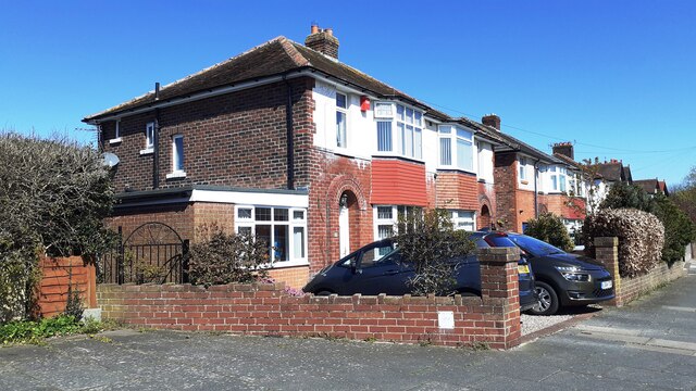
Image: © Luke Shaw Taken: 15 Apr 2021
Ordnance Survey records indicate that a benchmark levelled at 18.459m above Newlyn Datum was verified in 1974 on the front corner, left hand face, of the nearest house (No. 24). However, an extension has been added on this face with loss of the benchmark
Images are licensed for reuse under creativecommons.org/licenses/by-sa/2.0
Image Location
Latitude
54.911348
Longitude
-2.941158