Backburn
Introduction
The photograph on this page of Backburn by Anne Burgess as part of the Geograph project.
The Geograph project started in 2005 with the aim of publishing, organising and preserving representative images for every square kilometre of Great Britain, Ireland and the Isle of Man.

There are currently over 7.5m images from over 14,400 individuals and you can help contribute to the project by visiting https://www.geograph.org.uk
Backburn
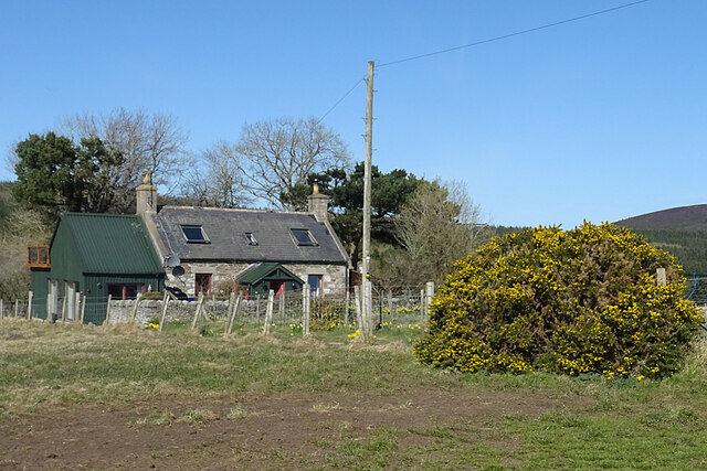
Image: © Anne Burgess Taken: 15 Apr 2021
The grid line actually runs through this house but this end of it is in square.
Images are licensed for reuse under creativecommons.org/licenses/by-sa/2.0
Image Location
Latitude
57.642724
Longitude
-2.889638