Castle Batch
Introduction
The photograph on this page of Castle Batch by Neil Owen as part of the Geograph project.
The Geograph project started in 2005 with the aim of publishing, organising and preserving representative images for every square kilometre of Great Britain, Ireland and the Isle of Man.

There are currently over 7.5m images from over 14,400 individuals and you can help contribute to the project by visiting https://www.geograph.org.uk
Castle Batch
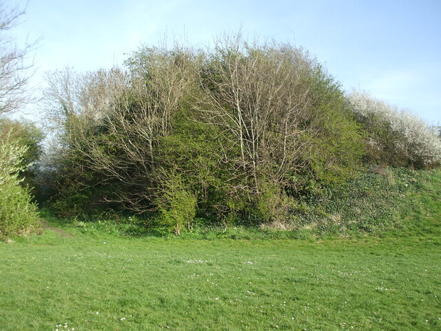
Image: © Neil Owen Taken: 4 Apr 2021
Here on a low carboniferous limestone ridge near Weston-Super-Mare is an artificial mound. It dates from the late eleventh century when the Norman invasion brought new blood and manners to the area. Early owners were from that influx. The earthworks are roughly circular and featured a bank, ditch and motte (although no evidence for a bailey has been found).
Images are licensed for reuse under creativecommons.org/licenses/by-sa/2.0
Image Location
Latitude
51.368666
Longitude
-2.918452