Fulbourn: north to The Fens
Introduction
The photograph on this page of Fulbourn: north to The Fens by John Sutton as part of the Geograph project.
The Geograph project started in 2005 with the aim of publishing, organising and preserving representative images for every square kilometre of Great Britain, Ireland and the Isle of Man.

There are currently over 7.5m images from over 14,400 individuals and you can help contribute to the project by visiting https://www.geograph.org.uk
Fulbourn: north to The Fens
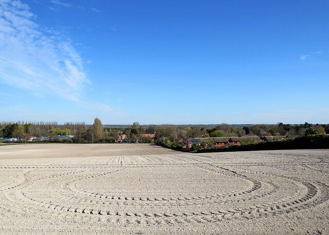
Image: © John Sutton Taken: 18 Apr 2021
Looking down spring-cultivated Mill Hill from the Cambridge Road verge towards Hinton Road. The true fen levels begin about two miles away, beyond the low ridge on which Stow-cum-Quy stands.
Images are licensed for reuse under creativecommons.org/licenses/by-sa/2.0
Image Location
Latitude
52.183139
Longitude
0.205906