Dolecroft Lane
Introduction
The photograph on this page of Dolecroft Lane by Neil Owen as part of the Geograph project.
The Geograph project started in 2005 with the aim of publishing, organising and preserving representative images for every square kilometre of Great Britain, Ireland and the Isle of Man.

There are currently over 7.5m images from over 14,400 individuals and you can help contribute to the project by visiting https://www.geograph.org.uk
Dolecroft Lane
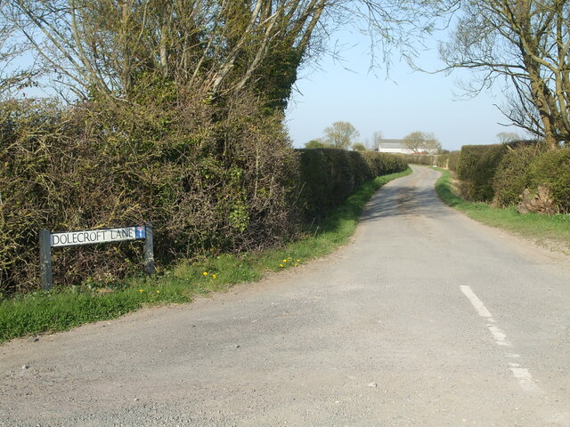
Image: © Neil Owen Taken: 4 Apr 2021
Off Wick Road and leading to a small farm; the lane is flanked by drainage ditches for most of its length.
Images are licensed for reuse under creativecommons.org/licenses/by-sa/2.0
Image Location
Latitude
51.380216
Longitude
-2.889945