A drain near Madam Bridge
Introduction
The photograph on this page of A drain near Madam Bridge by Neil Owen as part of the Geograph project.
The Geograph project started in 2005 with the aim of publishing, organising and preserving representative images for every square kilometre of Great Britain, Ireland and the Isle of Man.

There are currently over 7.5m images from over 14,400 individuals and you can help contribute to the project by visiting https://www.geograph.org.uk
A drain near Madam Bridge
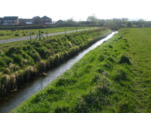
Image: © Neil Owen Taken: 4 Apr 2021
The flat landscape to the west of Weston-Super-Mare has been consumed rapidly by a massive housing development in recent years. The remaining area is officially recognised as a flood meadow that will help absorb extreme weather events and is riddled with such drainage ditches and rhynes.
Images are licensed for reuse under creativecommons.org/licenses/by-sa/2.0
Image Location
Latitude
51.371201
Longitude
-2.904711