The Banwell flowing to Ebdon
Introduction
The photograph on this page of The Banwell flowing to Ebdon by Neil Owen as part of the Geograph project.
The Geograph project started in 2005 with the aim of publishing, organising and preserving representative images for every square kilometre of Great Britain, Ireland and the Isle of Man.

There are currently over 7.5m images from over 14,400 individuals and you can help contribute to the project by visiting https://www.geograph.org.uk
The Banwell flowing to Ebdon
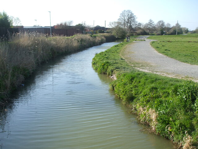
Image: © Neil Owen Taken: 4 Apr 2021
As Weston-Super-Mare expands rapidly and consumes yet more flat farmland, the River Banwell forms a significant boundary. Presumably it will only be a matter of time before the new homes broach the waters and take up more flood meadows.
Images are licensed for reuse under creativecommons.org/licenses/by-sa/2.0
Image Location
Latitude
51.371352
Longitude
-2.908449