Dilton Marsh ways [1]
Introduction
The photograph on this page of Dilton Marsh ways [1] by Michael Dibb as part of the Geograph project.
The Geograph project started in 2005 with the aim of publishing, organising and preserving representative images for every square kilometre of Great Britain, Ireland and the Isle of Man.

There are currently over 7.5m images from over 14,400 individuals and you can help contribute to the project by visiting https://www.geograph.org.uk
Dilton Marsh ways [1]
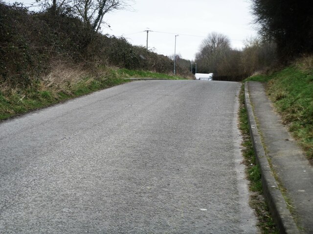
Image: © Michael Dibb Taken: 9 Feb 2021
High Street, seen here as it comes to its end near the Penknap Baptist church Image is anything but high. Dilton Marsh is a linear village with a high street over one mile long. The village is about 1½ miles south west of the centre of the town of Westbury. The original settlement, Old Dilton, is some ¾ miles south east of the present village centre on the banks of the Biss Brook and is now no more than a couple of farm houses and the ancient St Mary's Church.
Images are licensed for reuse under creativecommons.org/licenses/by-sa/2.0
Image Location
Latitude
51.247909
Longitude
-2.206406