Marsh Road
Introduction
The photograph on this page of Marsh Road by Mick Garratt as part of the Geograph project.
The Geograph project started in 2005 with the aim of publishing, organising and preserving representative images for every square kilometre of Great Britain, Ireland and the Isle of Man.

There are currently over 7.5m images from over 14,400 individuals and you can help contribute to the project by visiting https://www.geograph.org.uk
Marsh Road
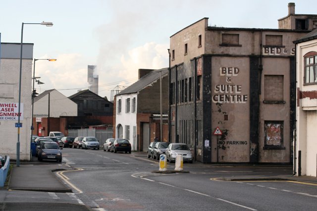
Image: © Mick Garratt Taken: 14 Nov 2007
There are plans afoot to turn the burnt out shell of a former bedroom warehouse on the right into a pub and nightclub operating everyday from 11am to 4am.
Images are licensed for reuse under creativecommons.org/licenses/by-sa/2.0
Image Location
Latitude
54.578946
Longitude
-1.240971