Re-surfaced path
Introduction
The photograph on this page of Re-surfaced path by Richard Sutcliffe as part of the Geograph project.
The Geograph project started in 2005 with the aim of publishing, organising and preserving representative images for every square kilometre of Great Britain, Ireland and the Isle of Man.

There are currently over 7.5m images from over 14,400 individuals and you can help contribute to the project by visiting https://www.geograph.org.uk
Re-surfaced path
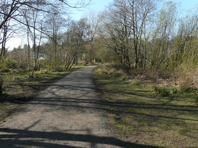
Image: © Richard Sutcliffe Taken: 16 Apr 2021
East Dunbartonshire Council have recently resurfaced the paths around Kilmardinny Loch. This looks to be a big improvement, as they had a tendency to get very muddy in wet weather.
Images are licensed for reuse under creativecommons.org/licenses/by-sa/2.0
Image Location
Latitude
55.926285
Longitude
-4.325447