The Tweed upstream from Yair Bridge
Introduction
The photograph on this page of The Tweed upstream from Yair Bridge by Jim Barton as part of the Geograph project.
The Geograph project started in 2005 with the aim of publishing, organising and preserving representative images for every square kilometre of Great Britain, Ireland and the Isle of Man.

There are currently over 7.5m images from over 14,400 individuals and you can help contribute to the project by visiting https://www.geograph.org.uk
The Tweed upstream from Yair Bridge
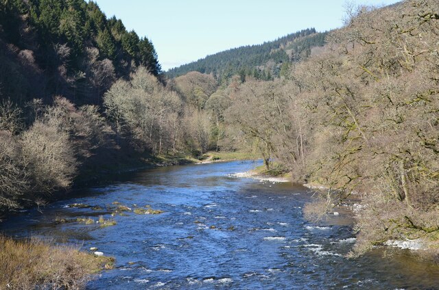
Image: © Jim Barton Taken: 15 Apr 2021
The river looking at its best on a sunny April morning.
Images are licensed for reuse under creativecommons.org/licenses/by-sa/2.0
Image Location


Leaflet Map data © OpenStreetMap
Latitude
55.583997
Longitude
-2.86375