Westbury ways [5]
Introduction
The photograph on this page of Westbury ways [5] by Michael Dibb as part of the Geograph project.
The Geograph project started in 2005 with the aim of publishing, organising and preserving representative images for every square kilometre of Great Britain, Ireland and the Isle of Man.

There are currently over 7.5m images from over 14,400 individuals and you can help contribute to the project by visiting https://www.geograph.org.uk
Westbury ways [5]
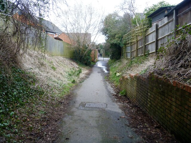
Image: © Michael Dibb Taken: 9 Feb 2021
Blackhorse Lane approaches Suffolk Road. The lane starts from Westbury Leigh, crosses Suffolk Road and runs to Dartmoor Road where it meets a complex of public footpaths. Westbury is a former market town in the far west of Wiltshire under the north western edge of Salisbury Plain, 4 miles south of Trowbridge and 4 miles north of Warminster. Westbury was a centre of the cloth industry from the later 15th century until the 19th century. Malting was another important industry. There are now a number of large industrial and trading estates around the town with many residents working there. The town is an important junction point on the railway network with the Reading to Taunton line intersecting the line from Bristol to Southampton. Westbury Leigh is sometimes considered a separate village, with its own church and chapel, although it is now a contiguous part of the town.
Images are licensed for reuse under creativecommons.org/licenses/by-sa/2.0
Image Location


Leaflet Map data © OpenStreetMap
Latitude
51.248907
Longitude
-2.201253