Crakell Road
Introduction
The photograph on this page of Crakell Road by Ian Capper as part of the Geograph project.
The Geograph project started in 2005 with the aim of publishing, organising and preserving representative images for every square kilometre of Great Britain, Ireland and the Isle of Man.

There are currently over 7.5m images from over 14,400 individuals and you can help contribute to the project by visiting https://www.geograph.org.uk
Crakell Road
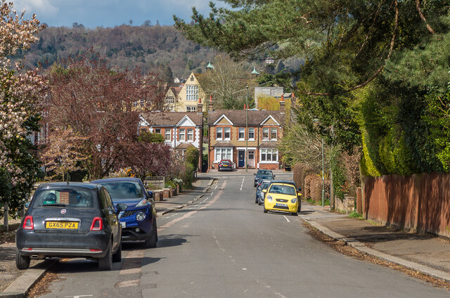
Image: © Ian Capper Taken: 12 Apr 2021
Looking down Crackell Road towards Blackborough Road. Beyond the houses in the background can be seen some of the main building of Reigate Grammar School.
Images are licensed for reuse under creativecommons.org/licenses/by-sa/2.0
Image Location
Latitude
51.234115
Longitude
-0.193344