Road through Piper's Ash, Chester
Introduction
The photograph on this page of Road through Piper's Ash, Chester by BrianPritchard as part of the Geograph project.
The Geograph project started in 2005 with the aim of publishing, organising and preserving representative images for every square kilometre of Great Britain, Ireland and the Isle of Man.

There are currently over 7.5m images from over 14,400 individuals and you can help contribute to the project by visiting https://www.geograph.org.uk
Road through Piper's Ash, Chester
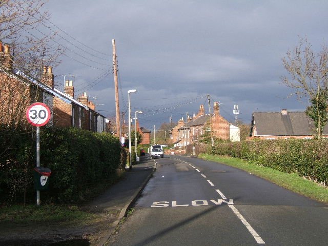
Image: © BrianPritchard Taken: 7 Feb 2008
The sunlight had highlighted the homes against a darkened sky. The Road is called Hare Lane, and the building on the right is the old Methodist Church, now converted.
Images are licensed for reuse under creativecommons.org/licenses/by-sa/2.0
Image Location
Latitude
53.202262
Longitude
-2.849242