Longden End Brook
Introduction
The photograph on this page of Longden End Brook by Mick Garratt as part of the Geograph project.
The Geograph project started in 2005 with the aim of publishing, organising and preserving representative images for every square kilometre of Great Britain, Ireland and the Isle of Man.

There are currently over 7.5m images from over 14,400 individuals and you can help contribute to the project by visiting https://www.geograph.org.uk
Longden End Brook
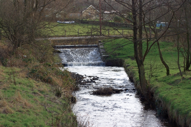
Image: © Mick Garratt Taken: 6 Feb 2008
Just before its discharge into Hollingworth Lake.
Images are licensed for reuse under creativecommons.org/licenses/by-sa/2.0
Image Location


Leaflet Map data © OpenStreetMap
Latitude
53.627538
Longitude
-2.088871