Wellswood Path
Introduction
The photograph on this page of Wellswood Path by Derek Harper as part of the Geograph project.
The Geograph project started in 2005 with the aim of publishing, organising and preserving representative images for every square kilometre of Great Britain, Ireland and the Isle of Man.

There are currently over 7.5m images from over 14,400 individuals and you can help contribute to the project by visiting https://www.geograph.org.uk
Wellswood Path
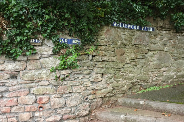
Image: © Derek Harper Taken: 27 Nov 2020
The path runs for a total of over 800 metres climbing from near Babbacombe Road to Cedars Road on top of Warberry Hill, crossing several roads on the way. Here it is leaving Lower Warberry Road up footpath TQ 92.
Images are licensed for reuse under creativecommons.org/licenses/by-sa/2.0
Image Location
Latitude
50.466614
Longitude
-3.512806