Alcuin Way
Introduction
The photograph on this page of Alcuin Way by DS Pugh as part of the Geograph project.
The Geograph project started in 2005 with the aim of publishing, organising and preserving representative images for every square kilometre of Great Britain, Ireland and the Isle of Man.

There are currently over 7.5m images from over 14,400 individuals and you can help contribute to the project by visiting https://www.geograph.org.uk
Alcuin Way
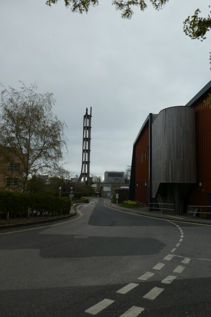
Image: © DS Pugh Taken: 13 Apr 2021
Looking down Alcuin Way past Chemistry F block and towards the Central Boilerhouse.
Images are licensed for reuse under creativecommons.org/licenses/by-sa/2.0
Image Location
Latitude
53.948804
Longitude
-1.047669