Mixed farmland near Muirmouth
Introduction
The photograph on this page of Mixed farmland near Muirmouth by Dr Richard Murray as part of the Geograph project.
The Geograph project started in 2005 with the aim of publishing, organising and preserving representative images for every square kilometre of Great Britain, Ireland and the Isle of Man.

There are currently over 7.5m images from over 14,400 individuals and you can help contribute to the project by visiting https://www.geograph.org.uk
Mixed farmland near Muirmouth
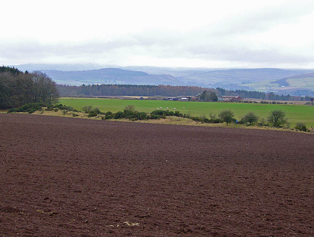
Image: © Dr Richard Murray Taken: 7 Feb 2008
Hills to the north of Strathearn in the distance
Images are licensed for reuse under creativecommons.org/licenses/by-sa/2.0
Image Location


Leaflet Map data © OpenStreetMap
Latitude
56.35435
Longitude
-3.726354