Wind turbine access road
Introduction
The photograph on this page of Wind turbine access road by Alec MacKinnon as part of the Geograph project.
The Geograph project started in 2005 with the aim of publishing, organising and preserving representative images for every square kilometre of Great Britain, Ireland and the Isle of Man.

There are currently over 7.5m images from over 14,400 individuals and you can help contribute to the project by visiting https://www.geograph.org.uk
Wind turbine access road
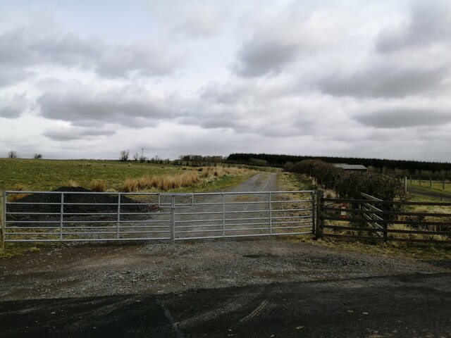
Image: © Alec MacKinnon Taken: 13 Apr 2021
The road behind the gate, leading to a solitary wind turbine, here runs side by side with the farm road to Woodhill.
Images are licensed for reuse under creativecommons.org/licenses/by-sa/2.0
Image Location
Latitude
55.680895
Longitude
-4.455935