Benchmark, Ashover, Roundham
Introduction
The photograph on this page of Benchmark, Ashover, Roundham by Adrian Taylor as part of the Geograph project.
The Geograph project started in 2005 with the aim of publishing, organising and preserving representative images for every square kilometre of Great Britain, Ireland and the Isle of Man.

There are currently over 7.5m images from over 14,400 individuals and you can help contribute to the project by visiting https://www.geograph.org.uk
Benchmark, Ashover, Roundham
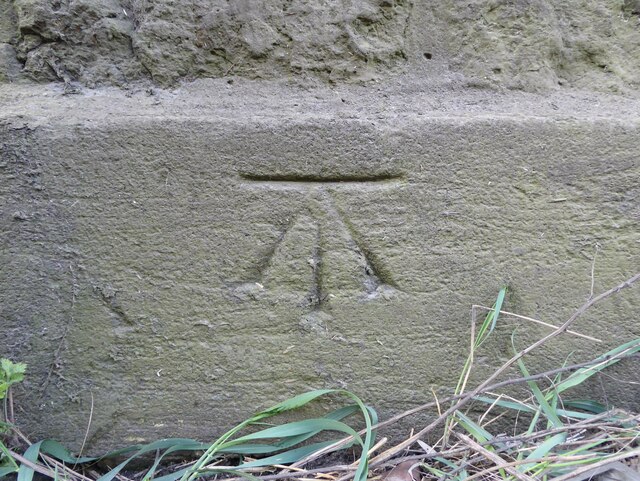
Image: © Adrian Taylor Taken: 11 Apr 2021
Detail of the Ordnance Survey cut benchmark on the north east face of Ashover, facing the A30. The benchmark marks a height of 121.2491m above Ordnance Datum (Newlyn) last verified and levelled in 1967 (location photograph Image).
Images are licensed for reuse under creativecommons.org/licenses/by-sa/2.0
Image Location


Leaflet Map data © OpenStreetMap
Latitude
50.883102
Longitude
-2.819169