Housing near Ounsdale in Staffordshire
Introduction
The photograph on this page of Housing near Ounsdale in Staffordshire by Roger Kidd as part of the Geograph project.
The Geograph project started in 2005 with the aim of publishing, organising and preserving representative images for every square kilometre of Great Britain, Ireland and the Isle of Man.

There are currently over 7.5m images from over 14,400 individuals and you can help contribute to the project by visiting https://www.geograph.org.uk
Housing near Ounsdale in Staffordshire
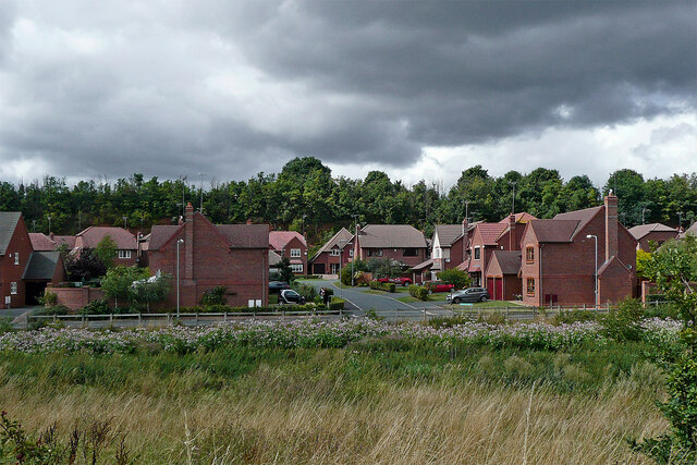
Image: © Roger Kidd Taken: 18 Aug 2010
Looking west-north-west from the canal at Bumblehole Lock. The Wom Brook flows from right to left (hidden) by Tollhouse Way. Leading towards the treeline is Hellier Drive.
Images are licensed for reuse under creativecommons.org/licenses/by-sa/2.0
Image Location
Latitude
52.538107
Longitude
-2.202238