Railway Bridge, Sidley
Introduction
The photograph on this page of Railway Bridge, Sidley by Bill Johnson as part of the Geograph project.
The Geograph project started in 2005 with the aim of publishing, organising and preserving representative images for every square kilometre of Great Britain, Ireland and the Isle of Man.

There are currently over 7.5m images from over 14,400 individuals and you can help contribute to the project by visiting https://www.geograph.org.uk
Railway Bridge, Sidley
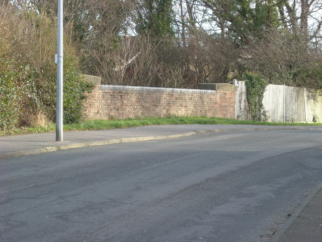
Image: © Bill Johnson Taken: 25 Jan 2008
The original intention had been to photograph the disused railway line from Bexhill to Crowhurst which passed beneath this bridge. On viewing the site there was no longer any clear indication of a railway track as this had been completely overgrown with bushes and trees.
Images are licensed for reuse under creativecommons.org/licenses/by-sa/2.0
Image Location
Latitude
50.850039
Longitude
0.470034