Middle Blagdon
Introduction
The photograph on this page of Middle Blagdon by Derek Harper as part of the Geograph project.
The Geograph project started in 2005 with the aim of publishing, organising and preserving representative images for every square kilometre of Great Britain, Ireland and the Isle of Man.

There are currently over 7.5m images from over 14,400 individuals and you can help contribute to the project by visiting https://www.geograph.org.uk
Middle Blagdon
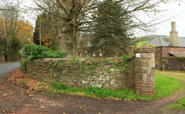
Image: © Derek Harper Taken: 22 Nov 2020
Beyond the curving wall, on the right, is the listed dairy, "Part of a large planned double-courtyard split-level farmyard, still in agricultural use and a rare survival in Devon" https://historicengland.org.uk/listing/the-list/list-entry/1195089 . The farmhouse, also listed https://historicengland.org.uk/listing/the-list/list-entry/1195088, is behind the Araucaria. See also Image and Image
Images are licensed for reuse under creativecommons.org/licenses/by-sa/2.0
Image Location
Latitude
50.437057
Longitude
-3.61086