Former sand quarry
Introduction
The photograph on this page of Former sand quarry by Ian Capper as part of the Geograph project.
The Geograph project started in 2005 with the aim of publishing, organising and preserving representative images for every square kilometre of Great Britain, Ireland and the Isle of Man.

There are currently over 7.5m images from over 14,400 individuals and you can help contribute to the project by visiting https://www.geograph.org.uk
Former sand quarry
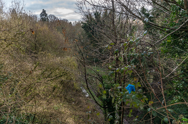
Image: © Ian Capper Taken: 18 Jan 2021
Former sand quarry, known as Doods Road Pit. The quarry was served by a siding off the Redhill - Reigate railway. This view, screened by a fence and small trees, is from Madeira Walk, which overlooks the former quarry site on both sides.
Images are licensed for reuse under creativecommons.org/licenses/by-sa/2.0
Image Location
Latitude
51.240452
Longitude
-0.1844