Lund Lane Killinghall/Hamspthwaite - benchmark
Introduction
The photograph on this page of Lund Lane Killinghall/Hamspthwaite - benchmark by Mel Towler as part of the Geograph project.
The Geograph project started in 2005 with the aim of publishing, organising and preserving representative images for every square kilometre of Great Britain, Ireland and the Isle of Man.

There are currently over 7.5m images from over 14,400 individuals and you can help contribute to the project by visiting https://www.geograph.org.uk
Lund Lane Killinghall/Hamspthwaite - benchmark
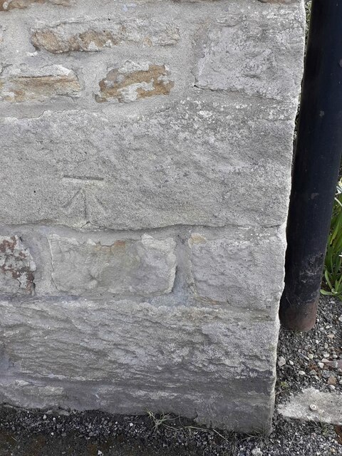
Image: © Mel Towler Taken: 11 Apr 2021
reasonable condition, about 3ft from ground level
Images are licensed for reuse under creativecommons.org/licenses/by-sa/2.0
Image Location
Latitude
54.016376
Longitude
-1.580128