
Amington Road, Bolehall
Introduction
The photograph on this page of Amington Road, Bolehall by Stephen McKay as part of the Geograph project.
The Geograph project started in 2005 with the aim of publishing, organising and preserving representative images for every square kilometre of Great Britain, Ireland and the Isle of Man.

There are currently over 7.5m images from over 14,400 individuals and you can help contribute to the project by visiting https://www.geograph.org.uk
Amington Road, Bolehall
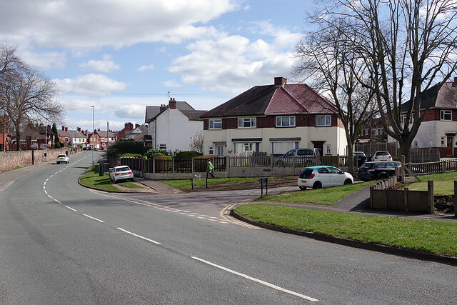
Image: © Stephen McKay Taken: 7 Apr 2021
Bolehall was recorded as a manor in medieval times and was part of Warwickshire until 1889. Although the area developed from the late 18th century onwards with coal mining and clay extraction, as well as a tape mill in the 19th century, major expansion occurred in the mid-20th century as a suburb of Tamworth. The semi-detached houses seen here at the junction of Amington Road and Manor Road date from that time.
Images are licensed for reuse under creativecommons.org/licenses/by-sa/2.0
Image Location

Latitude
52.631803
Longitude
-1.684067