Path alongside Lambley Bottom Dumble
Introduction
The photograph on this page of Path alongside Lambley Bottom Dumble by Jonathan Thacker as part of the Geograph project.
The Geograph project started in 2005 with the aim of publishing, organising and preserving representative images for every square kilometre of Great Britain, Ireland and the Isle of Man.

There are currently over 7.5m images from over 14,400 individuals and you can help contribute to the project by visiting https://www.geograph.org.uk
Path alongside Lambley Bottom Dumble
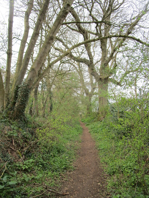
Image: © Jonathan Thacker Taken: 10 Apr 2021
Doesn't seem to be a public footpath but obviously well used.
Images are licensed for reuse under creativecommons.org/licenses/by-sa/2.0
Image Location
Latitude
53.005327
Longitude
-1.068857