Carbrooke village sign
Introduction
The photograph on this page of Carbrooke village sign by Adrian S Pye as part of the Geograph project.
The Geograph project started in 2005 with the aim of publishing, organising and preserving representative images for every square kilometre of Great Britain, Ireland and the Isle of Man.

There are currently over 7.5m images from over 14,400 individuals and you can help contribute to the project by visiting https://www.geograph.org.uk
Carbrooke village sign
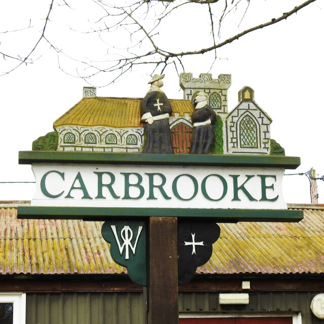
Image: © Adrian S Pye Taken: 8 Apr 2021
The sign depicts the Knights Hospitallers and the Commandery of St John of Jerusalem, which was sited in the village between 1173 and 1540, before the dissolution of the monasteries by Henry VIII. Some remains are extant in the meadows behind the church. https://www.geograph.org.uk/photo/6803849
Images are licensed for reuse under creativecommons.org/licenses/by-sa/2.0
Image Location
Latitude
52.582375
Longitude
0.875748