Former Dairy Farm, Stockeld Lane, Sicklinghall
Introduction
The photograph on this page of Former Dairy Farm, Stockeld Lane, Sicklinghall by Stephen Craven as part of the Geograph project.
The Geograph project started in 2005 with the aim of publishing, organising and preserving representative images for every square kilometre of Great Britain, Ireland and the Isle of Man.

There are currently over 7.5m images from over 14,400 individuals and you can help contribute to the project by visiting https://www.geograph.org.uk
Former Dairy Farm, Stockeld Lane, Sicklinghall
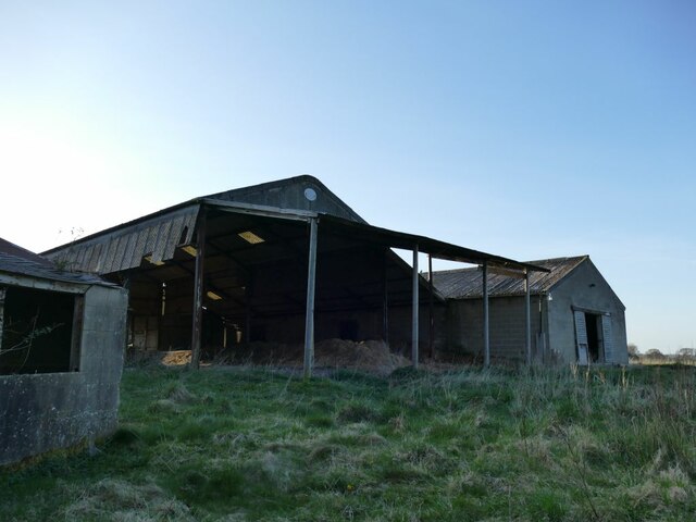
Image: © Stephen Craven Taken: 3 Apr 2021
This is shown as "Dairy Farm" on both old and present-day maps, which suggests it's a name rather than just a description. It would appear that farming has now ceased, and indeed the farmhouse was recently on the market for potential residential conversion at a guide price of £1.5 million including 1¾ acres (0.75ha) of land.
Images are licensed for reuse under creativecommons.org/licenses/by-sa/2.0
Image Location
Latitude
53.931703
Longitude
-1.445275