Walled Garden information board at Loughgall Country Park
Introduction
The photograph on this page of Walled Garden information board at Loughgall Country Park by P Webb as part of the Geograph project.
The Geograph project started in 2005 with the aim of publishing, organising and preserving representative images for every square kilometre of Great Britain, Ireland and the Isle of Man.

There are currently over 7.5m images from over 14,400 individuals and you can help contribute to the project by visiting https://www.geograph.org.uk
Walled Garden information board at Loughgall Country Park
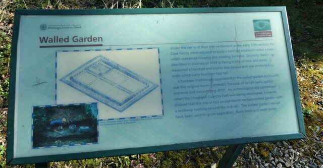
Image: © P Webb Taken: 5 Apr 2021
An information board about the Walled Garden which is located within Loughgall Country Park.
Images are licensed for reuse under creativecommons.org/licenses/by-sa/2.0
Image Location
Latitude
54.402155
Longitude
-6.597963