Plot 165 - The Datchet
Introduction
The photograph on this page of Plot 165 - The Datchet by Fernweh as part of the Geograph project.
The Geograph project started in 2005 with the aim of publishing, organising and preserving representative images for every square kilometre of Great Britain, Ireland and the Isle of Man.

There are currently over 7.5m images from over 14,400 individuals and you can help contribute to the project by visiting https://www.geograph.org.uk
Plot 165 - The Datchet
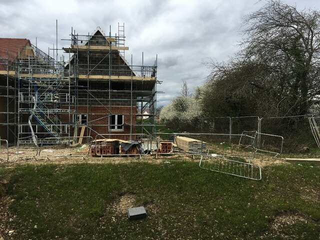
Image: © Fernweh Taken: 8 Apr 2021
Early days of the Bewley Homes development marketed as "Ash Lodge Park". This house was on the market for over £400,000. The road will be known as Minleys Close.
Images are licensed for reuse under creativecommons.org/licenses/by-sa/2.0
Image Location
Latitude
51.239422
Longitude
-0.723174