Path across Creasy's Brook, Broadfield, Crawley
Introduction
The photograph on this page of Path across Creasy's Brook, Broadfield, Crawley by Robin Webster as part of the Geograph project.
The Geograph project started in 2005 with the aim of publishing, organising and preserving representative images for every square kilometre of Great Britain, Ireland and the Isle of Man.

There are currently over 7.5m images from over 14,400 individuals and you can help contribute to the project by visiting https://www.geograph.org.uk
Path across Creasy's Brook, Broadfield, Crawley
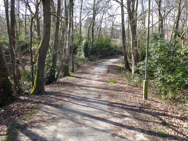
Image: © Robin Webster Taken: 30 Mar 2021
From Longhurst Road to Broadwood Rise, the brook is culverted under. This appears as the pond bay for Creasy's Pond on old maps, the pond is no more.
Images are licensed for reuse under creativecommons.org/licenses/by-sa/2.0
Image Location
Latitude
51.094702
Longitude
-0.212907