Bridleway Approaching Drapers Farm
Introduction
The photograph on this page of Bridleway Approaching Drapers Farm by Glyn Baker as part of the Geograph project.
The Geograph project started in 2005 with the aim of publishing, organising and preserving representative images for every square kilometre of Great Britain, Ireland and the Isle of Man.

There are currently over 7.5m images from over 14,400 individuals and you can help contribute to the project by visiting https://www.geograph.org.uk
Bridleway Approaching Drapers Farm
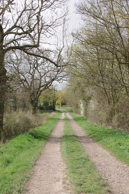
Image: © Glyn Baker Taken: 8 Apr 2021
Bridleway 19_73 nearing the end of its 982m at Image
Images are licensed for reuse under creativecommons.org/licenses/by-sa/2.0
Image Location
Latitude
52.058361
Longitude
0.401941