Creasy's Brook, Broadfield, Crawley
Introduction
The photograph on this page of Creasy's Brook, Broadfield, Crawley by Robin Webster as part of the Geograph project.
The Geograph project started in 2005 with the aim of publishing, organising and preserving representative images for every square kilometre of Great Britain, Ireland and the Isle of Man.

There are currently over 7.5m images from over 14,400 individuals and you can help contribute to the project by visiting https://www.geograph.org.uk
Creasy's Brook, Broadfield, Crawley
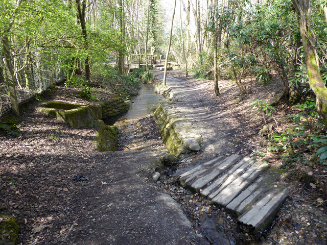
Image: © Robin Webster Taken: 30 Mar 2021
Looking downstream, the brook emerges from culvert under A264 on the left. A puzzling tributary in the foreground, with very little flow, but strongly embanked at the junction and with a rudimentary bridge that looks as if it would be washed away if the flow matched the channel provided (it is actually wired down). Is there a collapsed or blocked culvert?
Images are licensed for reuse under creativecommons.org/licenses/by-sa/2.0
Image Location
Latitude
51.092988
Longitude
-0.212545