Drive to Worsted Farm
Introduction
The photograph on this page of Drive to Worsted Farm by Simon Carey as part of the Geograph project.
The Geograph project started in 2005 with the aim of publishing, organising and preserving representative images for every square kilometre of Great Britain, Ireland and the Isle of Man.

There are currently over 7.5m images from over 14,400 individuals and you can help contribute to the project by visiting https://www.geograph.org.uk
Drive to Worsted Farm
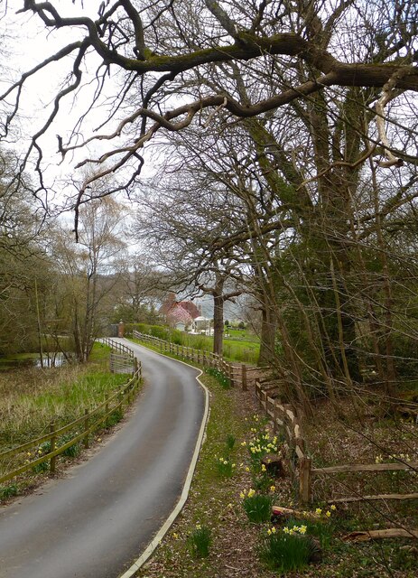
Image: © Simon Carey Taken: 7 Apr 2021
The farm is just visible in the distance whilst the drive itself is showing signs of spring.
Images are licensed for reuse under creativecommons.org/licenses/by-sa/2.0
Image Location
Latitude
51.121526
Longitude
0.012477