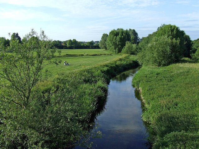
River Penk and meadows near Baswich, Stafford
Introduction
The photograph on this page of River Penk and meadows near Baswich, Stafford by Roger Kidd as part of the Geograph project.
The Geograph project started in 2005 with the aim of publishing, organising and preserving representative images for every square kilometre of Great Britain, Ireland and the Isle of Man.
There are currently over 7.5m images from over 14,400 individuals and you can help contribute to the project by visiting https://www.geograph.org.uk

Image: © Roger Kidd Taken: 20 Jun 2010
Looking north from Radford Bridge (footbridge). The flood plain meadows by the River Penk here are open for public use, and are an attractive well maintained facility. The Staffordshire and Worcestershire Canal passes through the trees by the right edge of the image. Bright evening sunlight seems to accentuate the early summer colours. The River Penk rises in Tettenhall Wood near Wolverhampton. It flows through Coven and Penkridge, joining the River Sow east of Stafford, (about a mile ahead). Almost its whole course is within the county of Staffordshire. The River Penk is 22 miles (36km) in length.

