Cwm Tyleri
Introduction
The photograph on this page of Cwm Tyleri by Graham Horn as part of the Geograph project.
The Geograph project started in 2005 with the aim of publishing, organising and preserving representative images for every square kilometre of Great Britain, Ireland and the Isle of Man.

There are currently over 7.5m images from over 14,400 individuals and you can help contribute to the project by visiting https://www.geograph.org.uk
Cwm Tyleri
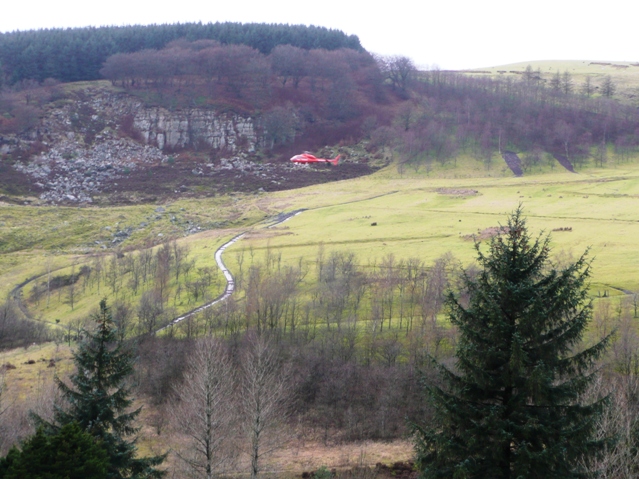
Image: © Graham Horn Taken: 2 Feb 2008
From St. Paul's churchyard, looking west to the quarry below Cefn Crib. The helicopter (G-LECA) belongs to South Wales Electricity Board and is on an inspection flight, typical of the area.
Images are licensed for reuse under creativecommons.org/licenses/by-sa/2.0
Image Location
Latitude
51.748339
Longitude
-3.139072