Sloping ground above St. Cuthbert's Church
Introduction
The photograph on this page of Sloping ground above St. Cuthbert's Church by Trevor Littlewood as part of the Geograph project.
The Geograph project started in 2005 with the aim of publishing, organising and preserving representative images for every square kilometre of Great Britain, Ireland and the Isle of Man.

There are currently over 7.5m images from over 14,400 individuals and you can help contribute to the project by visiting https://www.geograph.org.uk
Sloping ground above St. Cuthbert's Church
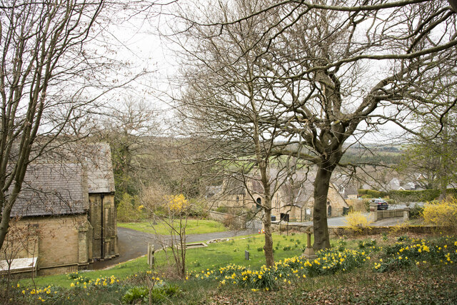
Image: © Trevor Littlewood Taken: 7 Apr 2021
St. Cuthbert's Church in Shotley Bridge is on the steep, narrow Church Lane.The ground around the church is walled and mainly limited to what is in view in the image and equally steep land to the left. It would normally be thought of as a graveyard and graves are there, but very few. The building beyond the largest tree is the church hall.
Images are licensed for reuse under creativecommons.org/licenses/by-sa/2.0
Image Location
Latitude
54.868271
Longitude
-1.856466