Houses on the garages
Introduction
The photograph on this page of Houses on the garages by Bill Nicholls as part of the Geograph project.
The Geograph project started in 2005 with the aim of publishing, organising and preserving representative images for every square kilometre of Great Britain, Ireland and the Isle of Man.

There are currently over 7.5m images from over 14,400 individuals and you can help contribute to the project by visiting https://www.geograph.org.uk
Houses on the garages
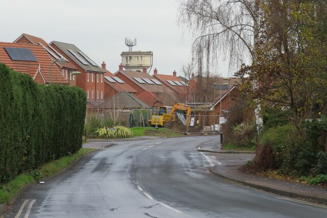
Image: © Bill Nicholls Taken: 10 Dec 2020
The new houses you see in the distance were built on the site where the garages were that the residents of the estate used. The old Cholsey to Waallingford line ran where the road is and in the direction of the water tower
Images are licensed for reuse under creativecommons.org/licenses/by-sa/2.0
Image Location


Leaflet Map data © OpenStreetMap
Latitude
51.598815
Longitude
-1.135